132 CHESTNUT HILL AV
Owner Information
JCHE 132 CHA LLC
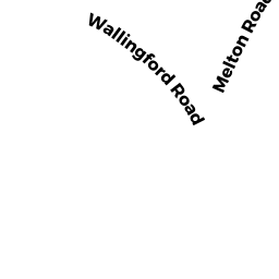
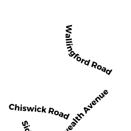
30 WALLINGFORD RD
BRIGHTON, MA 02135


Property Details
132 CHESTNUT HILL AV is classified as a Mixed Use (Primarily Residential, some Commercial) (Apt 31-99 units).
The primary structure on this property was built in 2018.
132 CHESTNUT HILL AV is valued at $3,826,703. The land is valued at $1,201,214 and the structures are valued at $2,625,489.
The most recent deed for 132 CHESTNUT HILL AV is recorded at the local registrar in Book 58448, Page 252. 132 CHESTNUT HILL AV was last sold on Wednesday, August 30, 2017 for $380,500.
Assessment data from fiscal year 2020.
Flood Data
According to the FEMA National Flood Hazard Layer, this property does not appear to be in a flood zone. It may also be in an area not yet reviewed. Nonetheless, confirm this information prior to taking any action.
To view the flood hazards around this property, create a FEMA "Firmette" Map of the area around 132 CHESTNUT HILL AV.
Broadband Internet Providers
| Provider | Type | Bandwidth (mbps) | |
|---|---|---|---|
| Towerstream | Fixed Wireless | 0 | 0 |
| Crown Castle Fiber | Fiber | 0 | 0 |
| Viasat Inc | Satellite | 100 | 3 |
| Comcast | Cable | 1000 | 35 |
| RCN | Cable | 500 | 20 |
| Starry, Inc. | Fixed Wireless | 200 | 200 |
| RCN | Cable | 1000 | 20 |
| Verizon New England Inc. | DSL | 15 | 1 |
| Verizon New England Inc. | Fiber | 940 | 880 |
| VSAT Systems, LLC. | Satellite | 2 | 1 |
| HughesNet | Satellite | 25 | 3 |
| GCI Communication Corp. | Satellite | 0 | 0 |
Broadband service provider data from December 2020.